
Сделать пожертвование
Топографическая карта Colorado Plateau
Нажмите на карту, чтобы отобразить высоту.
Сделать пожертвование
Colorado Plateau
Younger igneous rocks form spectacular topographic features. The Henry Mountains, La Sal Range, and Abajo Mountains, ranges that dominate many views in southeastern Utah, are formed about igneous rocks that were intruded in the interval from 20 to 31 million years: some igneous intrusions in these mountains form laccoliths, a form of intrusion recognized by Grove Karl Gilbert during his studies of the Henry Mountains. Ship Rock (also called Shiprock), in northwestern New Mexico, and Church Rock and Agathla, near Monument Valley, are erosional remnants of potassium-rich igneous rocks and associated breccias of the Navajo Volcanic Field, produced about 25 million years ago. The Hopi Buttes in northeastern Arizona are held up by resistant sheets of sodic volcanic rocks, extruded about 7 million years ago. More recent igneous rocks are concentrated nearer the margins of the Colorado Plateau. The San Francisco Peaks near Flagstaff, south of the Grand Canyon, are volcanic landforms produced by igneous activity that began in that area about 6 million years ago and continued until 1064 CE, when basalt erupted in Sunset Crater National Monument. Mount Taylor, near Grants, New Mexico, is a volcanic structure with a history similar to that of the San Francisco Peaks: a basalt flow closer to Grants was extruded only about 3000 years ago (see El Malpais National Monument). These young igneous rocks may record processes in the Earth's mantle that are eating away at deep margins of the relatively stable block of the Plateau.
Сделать пожертвование
Об этой карте
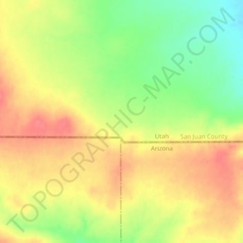
Название: Топографическая карта Colorado Plateau, высота, рельеф.
Местонахождение: Colorado Plateau, San Juan County, Utah, United States (37.00023 -110.00101 37.00033 -110.00091)
Средняя высота: 1 512 м
Минимальная высота: 1 474 м
Максимальная высота: 1 540 м
Сделать пожертвование
Другие топографические карты
Нажмите на карту, чтобы просмотреть ее топографию, ее высоту и ее рельеф.
Сделать пожертвование
Natural Bridges National Monument
United States > Utah > San Juan County
Located within the Colorado Plateau, the monument has three distinct bridges in White and Armstrong Canyons. These canyons were formed when the Colorado River eroded the Permian Cedar Mesa Sandstone. The Sipapu, Kachina, and Owachoma bridges were formed through rock decay, weathering and erosion, as water cut…
Средняя высота: 1 916 м
Сделать пожертвование
Сделать пожертвование
Сделать пожертвование
Monticello
United States > Utah > San Juan County
Monticello is located at the base of the Abajo Mountains, or the Blue Mountains, which are part of the Manti-La Sal National Forest. The elevation of Monticello is 7,069 feet (2,155 m). From Monticello, a tree formation on the Blue Mountains can be seen, which resembles a horse's head and neck, which can be…
Средняя высота: 2 145 м
Сделать пожертвование