
Сделать пожертвование
Топографическая карта Black Butte
Нажмите на карту, чтобы отобразить высоту.
Сделать пожертвование
Black Butte
According to the U.S. National Geodetic Survey and scientists from the United States Geological Survey, Black Butte has an elevation of 6,436 feet (1,962 m); the Geographic Names Information System database lists its elevation as 6,430 feet (1,960 m), while Oregon Geographic Names lists its elevation at 6,415 feet (1,955 m). The butte has proximal and draping reliefs of 2,490 feet (760 m) and 3,150 feet (960 m), which are the "difference between summit elevation and that of highest exposure of older rocks overlain by the edifice" and the "difference between summit elevation and that of lowest distal lavas of the edifice (not including distal pyroclastic or debris flows)," respectively. According to E. M. Taylor, Black Butte has a diameter of 4 miles (6.4 km).
Сделать пожертвование
Об этой карте
Название: Топографическая карта Black Butte, высота, рельеф.
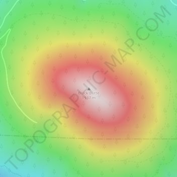
Местонахождение: Black Butte, Jefferson County, Oregon, United States (44.40003 -121.63651 44.40013 -121.63641)
Средняя высота: 1 514 м
Минимальная высота: 1 102 м
Максимальная высота: 1 952 м
Сделать пожертвование
Другие топографические карты
Нажмите на карту, чтобы просмотреть ее топографию, ее высоту и ее рельеф.