
Топографическая карта Esher
Нажмите на карту, чтобы отобразить высоту.
Esher
Esher is an outlying suburb of London, close to the London–Surrey border; with Esher Commons at its southern end, the town marks one limit of the Greater London Built-Up Area. Esher has a linear commercial high street and is otherwise suburban in density, with varying elevations, few high rise buildings and very short sections of dual carriageway within the ward itself. Esher covers a large area, between 13 and 15.4 miles southwest of Charing Cross. In the south it is bounded by the A3 Portsmouth Road which is of urban motorway standard and buffered by the Esher Commons.
Об этой карте
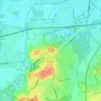
Название: Топографическая карта Esher, высота, рельеф.
Местонахождение: Esher, Elmbridge, Surrey, England, United Kingdom (51.35752 -0.37844 51.38794 -0.35135)
Средняя высота: 21 м
Минимальная высота: 8 м
Максимальная высота: 53 м
Другие топографические карты
Нажмите на карту, чтобы просмотреть ее топографию, ее высоту и ее рельеф.