
Сделать пожертвование
Топографическая карта Navalagunda
Нажмите на карту, чтобы отобразить высоту.
Сделать пожертвование
Navalagunda
Navalgund is located at 15°34′N 75°22′E / 15.57°N 75.37°E / 15.57; 75.37. It has an average elevation of 578 metres (1896 feet). It is situated 35 km from Hubli and is famous as the birth place of 'Jamkhanas', the floor covering woven using cotton ropes, a kind of flat & thin carpet. Locally known as a Twin town with Naragund and together they are know as Bhandayad Nadu (Land of Rebels). It is famous for the Holi festival. The world famous Ramling Kamanna, to which people visit from various places during Holi Purnima. The famous Ajath Naglinga Swamy temple is in Navalgundas and well as the famous Nilamma Tank .
Сделать пожертвование
Об этой карте
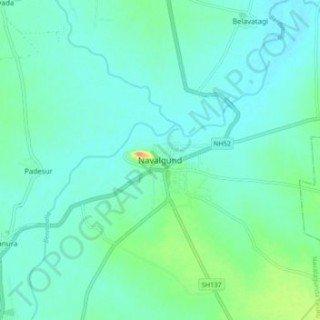
Название: Топографическая карта Navalagunda, высота, рельеф.
Местонахождение: Navalagunda, Navalagunda taluku, Dharwad, Karnataka, 582208, India (15.51822 75.31385 15.59822 75.39385)
Средняя высота: 579 м
Минимальная высота: 564 м
Максимальная высота: 644 м
Сделать пожертвование