
Топографическая карта Sandia Mountain Wilderness
Интерактивная карта
Нажмите на карту, чтобы отобразить высоту.
Sandia Mountain Wilderness
Some of the most common animals seen in the Sandia Wilderness are mule deer, black bears, raccoons, bobcats, and various species of squirrel. There are also many birds of prey that live and migrate within the Sandia Mountain Wilderness including golden eagles and various species of hawks. Other birds such as roadrunners, Steller's Jays, ravens, and canyon wrens can also be found on in the mountains. The upper parts of the Sandia Mountains have a lot of tree cover made up mostly of firs and spruce trees, with ponderosas and conifers inhabiting the middle elevations.
Об этой карте
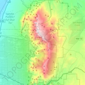
Название: Топографическая карта Sandia Mountain Wilderness, высота, рельеф.
Местонахождение: Sandia Mountain Wilderness, Cedar Crest, Bernalillo County, New Mexico, United States (35.06934 -106.50319 35.29705 -106.38740)
Средняя высота: 2 052 м
Минимальная высота: 1 532 м
Максимальная высота: 3 245 м