
Сделать пожертвование
Топографическая карта Mount Banahaw
Нажмите на карту, чтобы отобразить высоту.
Сделать пожертвование
Mount Banahaw
The andesitic Banahaw volcanic complex is composed of several stratovolcanoes with Mount Banahaw, the largest with a maximum elevation of 2,170 metres (7,119 ft) above mean sea level. The summit is topped by a 1.5 by 3.5 kilometres (0.93 mi × 2.17 mi) and 210 metres (690 ft) deep crater that is breached on the southern rim believed to have been caused by the 1730 eruption. Prior to 1730, a lake occupied the summit crater of Mount Banahaw. The resulting flood destroyed the town of Sariaya, Quezon located below the mountain.
Сделать пожертвование
Об этой карте
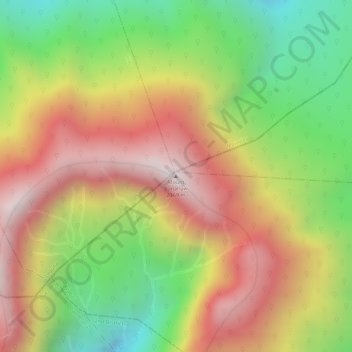
Название: Топографическая карта Mount Banahaw, высота, рельеф.
Местонахождение: Mount Banahaw, Tayabas, Calabarzon, 4327, Philippines (14.06748 121.49227 14.06758 121.49237)
Средняя высота: 1 730 м
Минимальная высота: 1 261 м
Максимальная высота: 2 145 м
Сделать пожертвование