

Топографическая карта Ben More
Нажмите на карту, чтобы отобразить высоту.
Ben More
Ben More (Scottish Gaelic: Beinn Mhòr, meaning "great mountain") is the highest mountain and only Munro (mountains in Scotland that reach an elevation of at least 3,000 feet or 914.4 metres) on the Isle of Mull, Scotland. It is also the highest peak in the Scottish isles – and the only Munro – apart from those on the Isle of Skye. The mountain is situated close to the centre of the island, above the shores of Loch na Keal.
Об этой карте
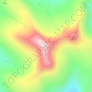
Название: Топографическая карта Ben More, высота, рельеф.
Местонахождение: Ben More, Argyll and Bute, Scotland, PA70 6HQ, United Kingdom (56.42478 -6.01409 56.42488 -6.01399)
Средняя высота: 574 м
Минимальная высота: 243 м
Максимальная высота: 962 м
Другие топографические карты
Нажмите на карту, чтобы просмотреть ее топографию, ее высоту и ее рельеф.
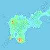




Gigha
United Kingdom > Scotland > Argyll and Bute > Ardminish
Gigha lies 5 kilometres (3 mi) off the coast of Kintyre and is 9.5 km (6 mi) long in a roughly north-south direction and a maximum of 2.5 km (1 1⁄2 mi) wide. The total area is 1,395 hectares (3,450 acres) and the highest elevation of Creag Bhàn reaches only 100 m (330 ft). The rocky central spine is…
Средняя высота: 3 м


Loch Sunart to the Sound of Jura Marine Protected Area
United Kingdom > Scotland > Argyll and Bute
Средняя высота: 135 м


Castle Sween
United Kingdom > Scotland > Argyll and Bute > Achnamara > Kilmichael of Inverlussa
Средняя высота: 55 м


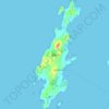
Lismore
United Kingdom > Scotland > Argyll and Bute > Achnacroish
The island of Lismore lies in Loch Linnhe, north east of Mull, in the Argyll and Bute council area. It is 15 kilometres (9.3 mi) long and about 2 kilometres (1.2 mi) wide and oriented from SW to NE, roughly parallel to the Great Glen Fault. To the east is an arm of Loch Linnhe known as the Lynn of Lorn.…
Средняя высота: 16 м


