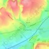
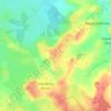
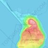
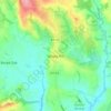
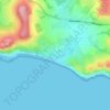
Топографическая карта Lyme Regis
Нажмите на карту, чтобы отобразить высоту.
Lyme Regis
Lyme Regis is a coastal town in West Dorset, 25 miles (40 km) west of Dorchester and 25 miles (40 km) east of Exeter. It lies in Lyme Bay, on the English Channel coast at the Dorset–Devon border. At the 2011 census, it had a population of 3,671. The town has grown around the mouth of the River Lim (or Lym) which drops from a plateau at an altitude of about 200 m (660 ft) before flowing around 5–6 km (3–4 mi) south and south-east to the sea. Its name is of British origin and probably cognate with the Welsh llif meaning flood or stream. Historically there were mills along its length. Its lower reaches coincide with sections of three recreational footpaths: the Wessex Ridgeway, Liberty Trail and East Devon Trail.
Об этой карте
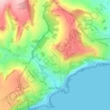
Название: Топографическая карта Lyme Regis, высота, рельеф.
Местонахождение: Lyme Regis, Dorset, England, United Kingdom (50.71799 -2.95310 50.75428 -2.91578)
Средняя высота: 83 м
Минимальная высота: 0 м
Максимальная высота: 205 м
Другие топографические карты
Нажмите на карту, чтобы просмотреть ее топографию, ее высоту и ее рельеф.






Middlemarsh
United Kingdom > England > Dorset > Glanvilles Wootton > Middlemarsh
Средняя высота: 116 м