
Топографическая карта Allegheny Portage Railroad National Historic Site
Интерактивная карта
Нажмите на карту, чтобы отобразить высоту.
Allegheny Portage Railroad National Historic Site
A skew arch bridge, a masterwork of cut stone construction, is another feature of the site near the Lemon House. The bridge is 60.4 feet (18.4 m) long on the south elevation, 54.9 feet (16.7 m) long on the north elevation, and 22.2 feet (6.8 m) high. It was the only bridge on the line that was built to carry a road.
Об этой карте
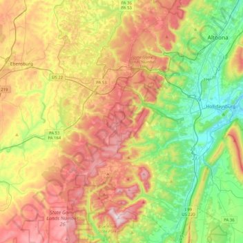
Название: Топографическая карта Allegheny Portage Railroad National Historic Site, высота, рельеф.
Местонахождение: Allegheny Portage Railroad National Historic Site, Cresson Township, Cambria County, Pennsylvania, United States (40.35608 -78.86013 40.46556 -78.45206)
Средняя высота: 570 м
Минимальная высота: 280 м
Максимальная высота: 957 м