
Сделать пожертвование
Топографическая карта Cache Lake
Нажмите на карту, чтобы отобразить высоту.
Сделать пожертвование
Об этой карте
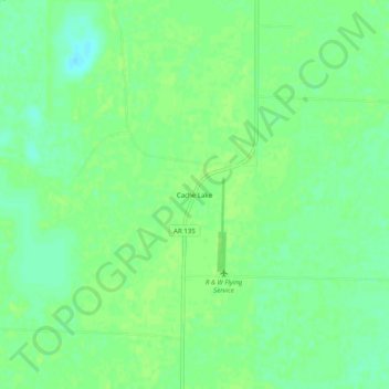
Название: Топографическая карта Cache Lake, высота, рельеф.
Местонахождение: Cache Lake, Clay County, Arkansas, 72435, United States (36.27562 -90.55316 36.31562 -90.51316)
Средняя высота: 88 м
Минимальная высота: 80 м
Максимальная высота: 91 м
Сделать пожертвование
Другие топографические карты
Нажмите на карту, чтобы просмотреть ее топографию, ее высоту и ее рельеф.
Piggott
United States > Arkansas > Clay County
The topography of Piggott is mostly flat in the eastern half of the city with the more developed western half lying along Crowley’s Ridge, creating a sensation of coming down from a small mount to the flatland below. This ridge is a naturally occurring phenomenon created over millennia by wind-blown…
Средняя высота: 103 м
Corning
United States > Arkansas > Clay County
The topography of Corning is flat, having previously been marshland. Area farmers and builders may attest to this due to the proliferation of gumbo soil, a name given to soil high in clay particulate matter and common in the region.
Средняя высота: 88 м