
Топографическая карта Valley
Интерактивная карта
Нажмите на карту, чтобы отобразить высоту.
Valley
In 1972, the Baltimore and Ohio Railroad was merged into the Chessie System, which planned to close and abandon the South Branch line. The Romney spur through Depot Valley remained in service and was illustrated by the United States Geological Survey on its 1973 Romney Quadrangle topographic map. On October 11, 1978, the Chessie System transferred ownership of the South Branch line to the South Branch Valley Railroad, which in turn was owned and operated by the West Virginia State Rail Authority. During this transition, the Romney spur of the South Branch Valley Railroad was abandoned, after which all rail and commercial activity at Valley ceased.
Об этой карте
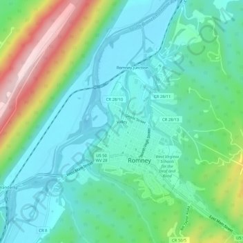
Название: Топографическая карта Valley, высота, рельеф.
Местонахождение: Valley, Romney, Hampshire County, West Virginia, 26757, United States (39.32831 -78.78020 39.36831 -78.74020)
Средняя высота: 282 м
Минимальная высота: 191 м
Максимальная высота: 536 м