
Сделать пожертвование
Топографическая карта Highveld
Нажмите на карту, чтобы отобразить высоту.
Сделать пожертвование
Highveld
The Highveld (Afrikaans: Hoëveld, pronounced [ˈɦuəfælt], lit. 'High Field') is the portion of the South African inland plateau which has an altitude above roughly 1,500 m (4,900 ft), but below 2,100 m (6,900 ft), thus excluding the Lesotho mountain regions to the south-east of the Highveld. It is home to some of the country's most important commercial farming areas, as well as its largest concentration of metropolitan centres, especially the Gauteng conurbation, which accommodates one-third of South Africa's population.
Сделать пожертвование
Об этой карте
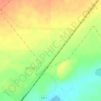
Название: Топографическая карта Highveld, высота, рельеф.
Местонахождение: Highveld, Matjhabeng Local Municipality, Lejweleputswa District Municipality, Free State, 9445, South Africa (-28.00005 26.99995 -27.99995 27.00005)
Средняя высота: 1 380 м
Минимальная высота: 1 355 м
Максимальная высота: 1 399 м
Сделать пожертвование