
Топографическая карта Belvoir Castle
Интерактивная карта
Нажмите на карту, чтобы отобразить высоту.
Об этой карте
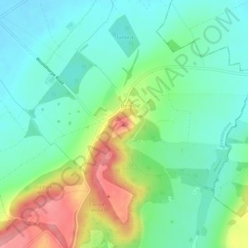
Название: Топографическая карта Belvoir Castle, высота, рельеф.
Местонахождение: Belvoir Castle, Woolsthorpe Road, Belvoir, Melton, Leicestershire, England, NG32 1PH, United Kingdom (52.89432 -0.78310 52.89504 -0.78179)
Средняя высота: 82 м
Минимальная высота: 49 м
Максимальная высота: 151 м
The traditional burial place of the Manners family was St Mary the Virgin's Church, Bottesford. Since elevation to the dukedom in 1703 most Dukes have been buried in the grounds of the mausoleum at Belvoir Castle. The mausoleum at Belvoir Castle was built by The 5th Duke of Rutland, following the death of his wife, Elizabeth Howard (1780-1825), daughter of The 5th Earl of Carlisle. After its construction, most of the 18th century monuments in Belton Church were moved to the mausoleum which then became the family's main place of burial.