
Топографическая карта Гангток
Интерактивная карта
Нажмите на карту, чтобы отобразить высоту.
Об этой карте
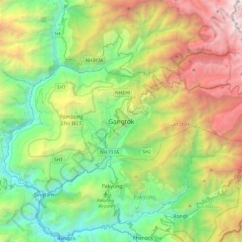
Название: Топографическая карта Гангток, высота, рельеф.
Местонахождение: Гангток, Сикким, 737101, Индия (27.16905 88.45227 27.48905 88.77227)
Средняя высота: 1 911 м
Минимальная высота: 283 м
Максимальная высота: 5 193 м
Другие топографические карты
Нажмите на карту, чтобы просмотреть ее топографию, ее высоту и ее рельеф.